The word “Sewer” is derived from the term “seaward” in Old English, as in ditches and ravines slightly sloped to run waste water from land to sea.
From an 1857 story in the Commercial Pacific Advertiser it appears that the first sewer facility to be constructed on Oʻahu was a storm drain located at Queen Street at the foot of Kaʻahumanu Street opposite Pier 11. (ASCE)
Despite three outbreaks of smallpox, a typhus epidemic and two cholera epidemics between 1853 and 1895, no other serious actions were taken to improve conditions.
Honolulu was a growing city and needed a better way of disposing its wastewater.
At that time, the city had grown to approximately 30,000-people, and it was estimated that about 1.8-million gallons of sewage was being disposed of in the City septic systems daily. This was much more than septic tank excavators could keep up with – which caused sanitation and odor concerns.
In 1897, Rudolph Hering, a New York Sanitary Engineer, was hired to prepare specifications for a Honolulu sewerage system, pumping station and ocean outfall (Hering had previously designed the New York and other large city sewage systems.)
Hering recommended a “separate system” whereby separate networks of conduits would carry sewage and storm waters, a system still used today in Honolulu.
Work on the system began in 1899 and sewer lines were laid out in a gravity flow pattern in a rectangular fashion and ran along Alapaʻi, River and South Streets, past Thomas Square, and ended in the Punahou area.
The system was extended to the remaining portion of what was then considered to be “town,” between Liliha on the ʻEwa side, Artesian Street, beyond Punahou to Judd Street, and including the Kewalo District.
The expansion was later delayed, due to a lack of funding. Much of the extension work thereafter was performed by property owners who were furnished piping and sewer components by the government.
The collection lines terminated at a main reservoir (the underground reservoir was dubbed the Hering Reservoir) at the low point at the intersection of Keawe Street and Ala Moana Boulevard in Kakaʻako. (Darnell) The sewage would then be pumped out to sea.
In addition, OG Traphagen (designer of the Moana Hotel) was hired to design the steam-powered sewer pumping station at this low spot.
The cost was tremendous for the construction of the lines, and construction was stopped several times due to lack of funding. The sewer outfall to the ocean was built in 1899. The outfall ran some 3,800-feet out to sea at a depth of 40-feet of water, rather than farther out to a 100-foot depth (again, due to funding constraints.) (Darnell)
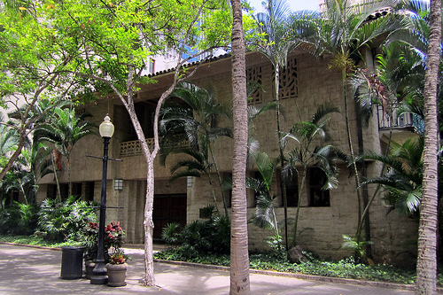
In 1900, the Kakaʻako Pumping Station was constructed; with features such as large arched windows, exterior walls of local lava rock, roofs of green tile and a smokestack 76-feet tall.
The architectural style is Industrial Romanesque with the walls constructed of locally-cut bluestone and concrete with plaster finished interior walls.
The first sewer system connections (to the Department of Health building on Punchbowl and Queen Streets, and to the Post Office building on Bethel and Merchant) were completed in 1900. This was followed by the slow conversion of other properties from cesspools to sewers.
Two additions were built to support the Pumping Station facility. In 1925, an additional “Pump” building of brick to house a high-speed, electric powered pump was added and the original plant was turned into a machine shop, storeroom and office. In 1939 a second “New” Pump House was constructed on the southwestern side of the existing structures.
The use of the Kakaʻako Pumping Station was abandoned by the City and County of Honolulu when it built a new pumping station on the southwest portion of the block, adjacent to the Historic Ala Moana Pumping Station in 1955.
Now under the jurisdiction of the Hawaiʻi Community Development Authority, it is restored by the nonprofit Hawaiʻi Architectural Foundation.
Today, the interior of the 1900 Pumping Station does not contain any historic equipment or utilities. (Lots of information here from HCDA, HHF, ASCE and Darnell.)