As Hawai‘i’s most populous island, O‘ahu has probably the most expansive railway history, other than perhaps arguably the Big Island. The island was home to plantation railroads and military railroads.
Benjamin Franklin (Frank) Dillingham, the same father of the Hilo Railroad, conceived the Oahu Railway & Land Company in an effort to improve transportation on the island.
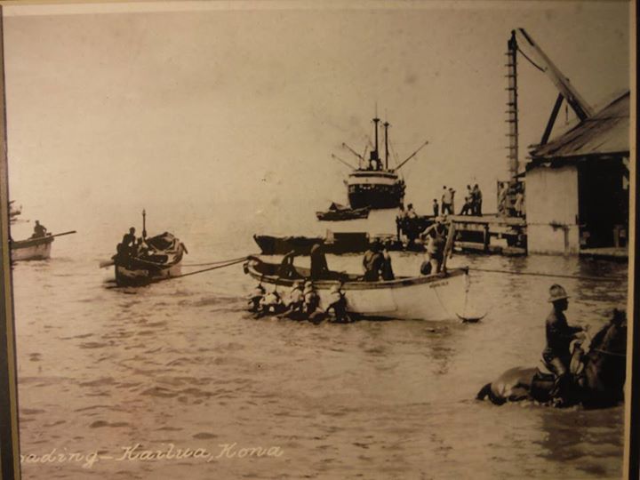
Beginning service in 1889 between Honolulu and Aiea, the railroad only continued to grow. By 1898, the mainline extended to Kahuku.
It was proposed, although never seriously considered to circumnavigate the island in a circle. Rather, numerous branch lines were constructed.
The development of sugar plantations in the Ko‘olauloa District began at Lā‘ie around 1868, when the first mill in the region was built.
In 1890, the Kahuku Plantation Company was organized, and shortly thereafter took on the processing of both the Lā‘ie and Kahuku crops.
By 1903 a railway between Lā‘ie and Kahuku Mill had been laid out, and James B Castle, partner in the corporation, was also planning his own plantation venture under the Koolau Agricultural Company and Koolau Railway Company, Limited. (Maly)
On July 5, 1905 Castle and others formed an association and filed with the Treasurer of the Territory of Hawaii a petition to incorporate under the name of Koolau Railway Company Ltd. for a term of fifty years.
The line was initially planned to run from the end of the Oahu Railway and Land Company’s track at Kahuku to Heeia, a distance of 25-miles.
By 1905, Castle’s Koolau Agricultural Company and Koolau Railway Company were initiating plans for the laying out of fields and planting sugar, and development of the railway system and support facilities in Kaluanui (‘Sacred Falls’) and other lands between Kahuku and Kahana Valley. (Livingston)
In 1906, Castle also secured a lease from Bishop Estate for more than 125 acres of kula lands in Kaluanui, for the term of 50 years, bringing to a close the tenure of the Hui Hoolimalima Aina o Kaluanui (Bishop Estate Lease No. 1219).
(The total acreage planted in Kaluanui was around 160 acres; and by 1922, cement-lined irrigation channels and flumes were developed to transport water from the Kaluanui-Kaliuwa‘a Stream to the fields – including those of neighboring ahupua‘a.)
The first 10 miles of the rail line to Kahana were completed in 1907 where construction stopped even though surveys were completed all the way to Honolulu. By late-1908, the Koolau Railway Company, Limited, system was in service between Kahuku and Kahana.
Construction never resumed, probably due to the extremely high cost to build along the windward side of Oahu and a decided lack of traffic.
Joseph F Smith, a missionary whose first Mormon mission to Hawai‘i was in 1854, visited Lā‘ie in 1915, and remarked on the great changes made by the missionaries since his first visit …
“Besides the almost omnipresent automobile, a railroad nearly circumscribes this Island, with vast networks or rails permeating the sugar-cane fields. The old grass-thatched huts have given place to comfortable and pleasant homes and grounds beautified with evergreens and flowers.”
“Modern furniture, comforts, and conveniences of homes have supplanted the gourds, calabashes and pandanus-leaf mats, on which the natives slept, and the native kapa, which furnished their clothing and the covering of their beds. To a great extent the ancient and dim light of the kukui-nut and the oil lamp has given place to the brilliant illumination of modern electric lights.”
In 1916, the Kahuku Plantation leased some of its land for pineapple cultivation to one large grower (C Okayama) and other individual growers on small pieces of land.
The growers were obligated to sell their crop to the Hawaiian Pineapple Company, Libby, McNeill & Libby of Honolulu, and the California Packing Corporation (which later became the Del Monte Corporation).
The Kahuku Plantation remained relatively small, with less than 4,000 acres under cultivation until the early 1900s, when it expanded to the southeast as far as Hau‘ula.
The Kahuku Plantation Company expanded by buying or incorporating other sugar plantation lands. In 1924, it bought the fields of the Koolau Agricultural Company as far south as Kahana Bay.
In 1931, the Laie Plantation Corporation was dissolved and their sugar lands, totally 2,700 acres, were purchased and added to the Kahuku Plantation.
Under the caption of “Laie Purchase,” the 1931 Kahuku Plantation Manager’s report for the year comments as follows: “Your company acquired the lease of Zion Securities agricultural lands and the transfer of leases previously held by them through Laie Plantation for a period of 25 years, dating from July 1, 1931.”
“Koolau Railway Company Ltd. was also bought from the Zion Securities Corporation. This railroad will be disincorporated as soon as possible and become purely a plantation railroad.”
The end for the cane hauling railroad at the Kahuku Plantation came in 1972, when this notice in the Honolulu Advertiser appeared: “The company had been losing money on the plantation for the last few years.”
“In 1968, A&B announced the closing of the plantation and the mill. The last crop was harvested in 1968, the last cane was ground at the mill on November 25, 1971, and the final paperwork was completed on February 1972, when the mill was locked to prevent vandalism.”