Dr Theodore Richards’ first position in Hawaiʻi was teacher of the first class to graduate from the Kamehameha Schools and also as an instructor of music and athletic coach.
He served as principal of the Kamehameha Schools for five years (replacing William Oleson, Kamehameha’s 1st principal.) Richards married Mary C Atherton in Honolulu, June 29, 1892. They had four children, Ruth (Mrs Frank E Midkiff,) Joseph Atherton, Herbert M and Mary Theodora Richards.
In 1927, Richards envisioned a community center and camp ground where people of all races could come together as “one blood” or “kokokahi”.
Initially, the Richards’ camp started on Moku O Loʻe (Coconut Island.) Chris Holmes, Fleishman Yeast heir, offered to buy the Bishop Estate lease from the camp and to take over the island as a private residence.
With the money from selling the lease, Richards established a multi-racial community by setting out houselots for weekend cabins across the Bay; it had mountains for hiking and the bay for swimming and the land between for the camp itself. (Taylor)
He established a garden there (now the independent Friendship Garden;) later, the Dudley Talbott Trail was added (about half-mile loop through lower Kokokahi Valley mauka of Kāneʻohe Bay Drive. )
Camp Halekipa was established and later merged with Theodore Richards’ combined conference, camp and vacation home area for all Christians, and called Kokokahi as part of the YWCA.
In a time when it was the custom for communities to be segregated by race, Kokokahi was an unprecedented effort to breakdown racial barriers. The YWCA national commitment to eliminating racism is in close harmony with Dr Richard’s.
The new camp offered conferences and camp outings for such diverse organizations as church groups, the University of Hawaiʻi sororities, the Salvation Army and Home Demonstration Clubs.
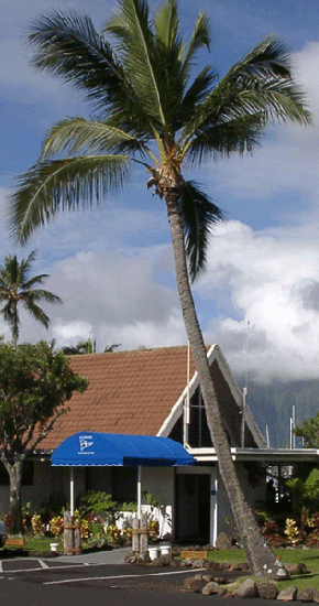
In 1936, the Juliette Atherton Trust built Atherton Hall on the YWCA property. It overlooks Kāneʻohe Bay, with floor to ceiling glass doors and a lanai that wraps around the building.
Today, Atherton Hall is used for group retreats or meetings, as well as a site for weddings; it has a full catering kitchen. Hale Nanea Lodge and nearby island-style cottages provide sleeping quarters for overflow.
Hale Nanea Lodge is a modern style lodge that can accommodate up to 60-guests in five dorm style rooms (with 12-camp-style single bunk beds per room.) Hale Nanea is equipped with its own kitchen, meeting space and men’s and women’s restrooms.
Originally built in 1933, nearby cottages have camp-style single beds and bunk beds and share a common area restroom with showers. The cottages have electricity and an outdoor picnic area with barbeque grills and sink.
During WWII, Kokokahi was used as a rest camp by the military. In 1968, renovations were begun to include a physical education building for indoor classes, an arts and crafts facility, a large multipurpose building and a marina.
Fully renovated in 2001, Midkiff Gymnasium is a modern multi-purpose gym. The unique sliding doors create an open air area, allowing ocean and mountain views. The gym has a sports floor covering and a college regulation size basketball court.
Today, Kokokahi offers YWCA members a place to participate in cultural, educational and recreational activities together.
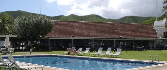
Located on Kāne’ohe Bay, member families have access to over 11-acres of waterfront property which includes a full-size gymnasium, a functional kitchen and dining area, a pool with locker rooms, overnight cabins and multiple classrooms and meeting spaces. (Information here is from YWCA, Kokokahi.)