“In the Nāpali District, the ahupua‘a of Kalalau, Pohakuao, Honopu, Hanakapiai and one-half of Hanakoa were granted to the Government Land inventory (Buke Mahele, 1848).”
“Portions of the lands that fell into the government inventory, were subsequently sold as Royal Patent Grants to individuals who applied for them. The grantees were generally long-time kama‘āina residents of the lands they sought.”
“As a result of the sale of lands from the government inventory, forty-five grants were sold to thirty-seven applicants for lands in the ahupua‘a of Hanalei and Wai‘oli, Halele‘a District; the division being forty-one parcels in Wai‘oli and four parcels in Hanalei.”
An archaeological Survey report states “during the second half of the 19th century, Kalalau Valley residents were a cooperative, community that had a ‘reciprocal, basically subsistence, fishing, farming orientation’ and traded with people in Hanalei, Waimea, and Ni‘ihau, for items such as coffee, matches, kerosene, and soap.”
“[R]esidents of Kalalau, like other residents of ancient Hawai‘i, moved seasonally from the shoreline to the mountains within their ahupua‘a.”
“The survey further reports that most of its residents left by the early 1900s and the valley was finally abandoned by human residents in 1919, except for visits by hunters, fishermen, and scientists.” (Intermediate Court of Appeals)
“Thirty grants were sold in the Nāpali District to twenty-seven applicants; the lands being situated in Kalalau and Honopu.” (Kumu Pono) “At one time the [Robinson] family controlled another 4,500 [acres] on the north shore, including Kalalau Valley.” (Island Breath)
“The Robinsons are a family originally from Scotland having large landholdings in Hā‘ena and considerable acreage of the west side of Kauai. The family purchased the entire island of Ni‘ihau in the mid-1800s. In Halele‘a, they ran cattle in Hā‘ena, Wainiha, Lumaha‘i, and Waipā, as well as in several valleys in the Nā Pali district.” (Carlos in Pacific Worlds)
“Robinson owned their land, so they were paniolo out there, they were working for Robinson. So, when you talked about all the cattle days and so forth and paniolo, they were all working for Robinson.” (Makaala in Pacific Worlds)
“For many years, before selling it to the State, Selwyn [Robinson, former manager of Niihau Ranch from 1917 to 1922 – he then managed Makaweli Ranch on Kauai for the next fifty years] owned Kalalau Valley on the Napali Coast, and ran cattle there.” (Paniolo Hall of Fame)
“A small branch of the [Makaweli] ranch is maintained on the Napali or northwest coast of Kauai where the Kalalau valley is used for pasturage”. “The Robinsons were grazing cattle in Kalalau, and would drive them along the trail between Hā‘ena and Kalalau.” (Maly)
“The Makaweli Ranch is controlled by the [Robinsons]. The land was originally purchased mostly from Hawaiian Chiefs and the Monarchy, although it also occupies some leased lands in the Waimea, Mokihana and Hanapepe sections.” (CTAHR, 1929)
“They raised pipi [cattle]. They would come with the whale boat from Ni‘ihau to Kalalau. … I think [they got there] by ship that they dragged them all the way, by the whale boat.” (Val Ako to Kepa Maly)
“Each summer [Selwyn] took the cowboys from Makaweli to camp in [Kalalau] valley and they would bring out the cattle along the narrow trail to Haena. In the early days, he also used to hunt wild cattle in the high mountains of Kauai.” (Paniolo Hall of Fame)
“They would walk along, the pipi would go out along a trail and graze in Kalalau … And then bring them out the same way … Until after a while, then they got those surplus landing crafts.” (Stanley Ho affirmations to Kepa Maly)
“[M]y dad used to always tell us, when had people in [Kalalau], ‘You take in what you get and you get Kalalau horses.’ So if you like send out something, you put ‘em on the Ha‘ena horse.”
“But if you went in, you gotta send something out, these people gotta send something out, they just put ‘em on the other horse, Ha‘ena horse, and let ‘em go, and he work his way out.”
“And then the same thing you do: when you come home, you like send something, you take Kalalau horse, just put on, he go back home.” (Sampson in Pacific Worlds)
In 1974, the Division of State Parks acquired Kalalau Valley and established the valley as a wilderness park. (Intermediate Court of Appeals)
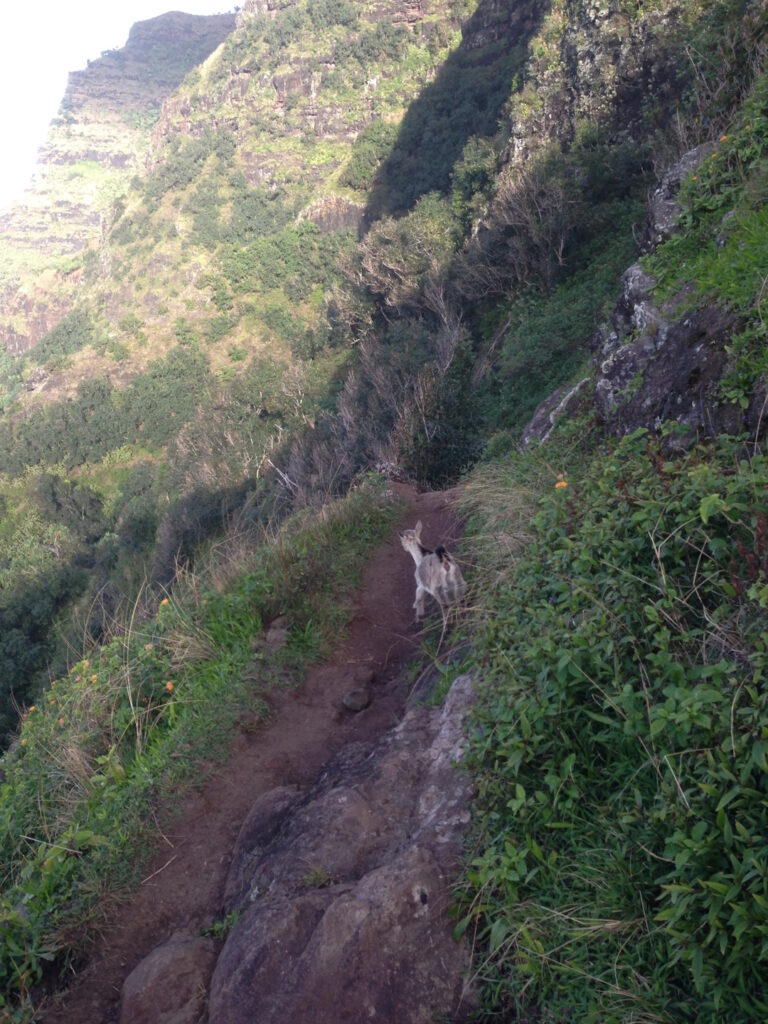
Here’s a view along a tight spot along the trail (about mile 7) … Crawler’s Ledge (where cattle once trod):