This story raised more questions than answers. It related to a Honolulu Advertiser story published on April 24, 1926. It asks, “What mysteries will the skeletons of Mōʻiliʻili reveal …?”
In part, it notes theories by historian WD Alexander, who suggests, “it is nearly certain that there were two distinct periods of emigration to these Islands.”
“The first settler must have arrived in the very ancient times, as the discovery of human bones under ancient coral beds and lava flows. Judge Fornander estimates that these Islands were inhabited as early as 500 BC.”
At Mōʻiliʻili, the paper notes that, “Skeletons that may be thirty centuries old, have just been uncovered from the encompassing layers of brown sand, still in a remarkable sate of preservation, the skulls intact, not a tooth missing.”
“And some of the skeletons are reported by the discoverers to have been found in a standing position. Above the sand is a top soil from a score to 50 feet in depth. Below, in the sand strata, 15 feet below the top soil, the skeletons were found a few days ago.”
We know that during the island’s formative stage, the sea level was more than 25 feet higher than its present level. This is estimated to have happened during the Sangamon Interglacial Stage (the Pleistocene Epoch). In Hawai‘i, folks refer to this as the Waimanalo High Sea Stand around the island about 120,000 years ago.
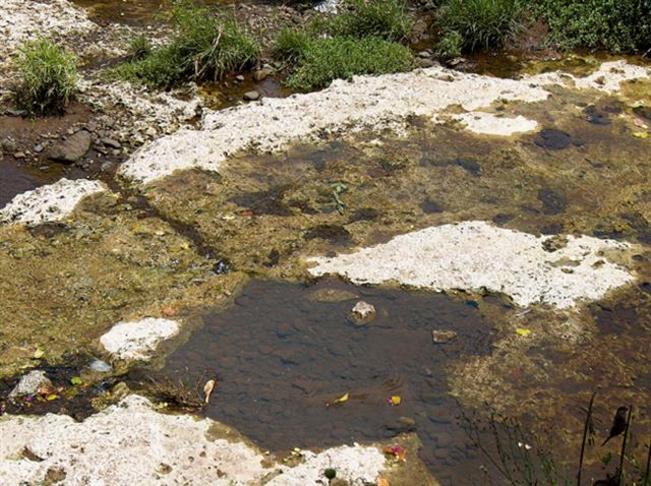
This period of sea level elevation is responsible for the deposit of fossil reef limestone (and, thus, some sand) in southern coastal Oʻahu, including up to the region we now know as Mōʻiliʻili.
The weathering and erosion of Oahu’s dormant volcanoes, the Waianae and Koʻolau, paired with the rise and retrieval of the sea level resulted in the formation of “interbedded marine and terrestrial deposits”.
So, sand in Mōʻiliʻili is not unexpected. But the news report adds a peculiarity … “How does it happen that this sand is different from any other sand found on Oahu, unlike the Waianae sand or the sands from the beaches?”
“How does it happen that this sand is similar to the standard Ottawa sand, and one of the best known to builders? From this sand bank ton upon ton is being excavated and transported to the city of Honolulu and is being incorporated in some of the great new structures rising all over under the impetus of the new building activity”?
Back to the skeletons … “Those who have seen these skulls are intrigued by the belief that they do not resemble the usual type of Hawaiian skull, in that their contour is practically perfect, suggesting a pure Aryan origin. No marble figure of the Greek has a more perfect head that that found in the Mōʻiliʻili sand strata.”
“Some. Hawaiians, threading back into the ancient and misty past, and clinging to the thought that the Hawaiians came out of the ‘place of the dawn,’ or the rising sun, believe in the possibility of a migration from the western continental hemispheres, possibly Aztec, possibly Inca Origin …”
“… and with this trend of thought presented it is easy to build up an ethnological mosaic that would hark back to the area of the continent of Atlantis, [peopled] by those of the farther east, and after all, clinging still to that trend, the origin could be traced to the shadow of the pyramids.”
“The startling fact was revealed that one has was found whose sightless eye orifices faced, apparently, to the east, toward the rising sun, the ‘Kahiki’ of the Hawaiians, their ‘place of dawn’ …”
“… for even the Hawaiians, in their legends and their ancient chants handed down, generation to generation by the bards, ‘word-of-mouth-narratives’ expressed a theory of having come from ‘out of the dawn – the east.’”
Having said that, the Star Bulletin came out with a following statement from the Bishop museum where they reported, that while “Members of the staff have not examined the skeletons …”
“In the absence of definitive proofs of extreme age, scientists of the Bishop Museum are not inclined to ascribe special importance to the finding of several skeletons at the Mōʻiliʻili quarry”.
“‘As far as the location of the burials is concerned,’ says Dr Herbert E Gregory, director of the Bishop Museum, ‘they do not indicate any great lapse of time. They are not found at any great depth.’” (SB, April 27, 1926)
No further reporting was found in the old newspapers about the Mōʻiliʻili skeletons; however, it seems questions remain (a burning one for relates to why the burials were in ‘a standing position’).
(A prior post on the Mōʻiliʻili Karst noted the eroded limestone caves under Mōʻiliʻili: https://imagesofoldhawaii.com/moiliili-karst-moiliili-water-cave/)