The marriage of Alexander Liholiho and Emma was one of mutual love. They had common interests in literature, music, opera, religion and theater. According to Emma, “Our happiest hours were spent reading aloud to each other.”
On May 20, 1858, the king and queen were blessed with the birth of a son, Albert Edward Kauikeaouli Kaleiopapa a Kamehameha.
He was named Albert Edward, after the husband of Queen Victoria of England, and Kauikeaouli Kaleiopapa, after his hānai grandfather Kamehameha III.
However, the Hawaiian people called young Albert “Ka Haku O Hawaiʻi,” “The Lord of Hawaiʻi.”
His mother and father affectionately called him “Baby.”
He was an honorary member of the Fire Engine Company Number Four and was given his own red Company Number Four uniform.
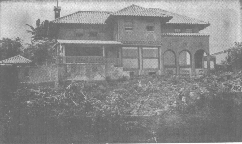
In 1860, Robert Crichton Wyllie, hosted his friends King Kamehameha IV, Queen Emma and their two-year-old son, Prince Albert at his plantation estate for several weeks.
In honor of the child, Wyllie, founder of the plantation, named his estate the “Barony de Princeville,” the City of the Prince (Princeville on Kauaʻi.)
Alexander Liholiho and Emma had hoped to have Albert christened by a bishop of the Church of England.
The prince became ill. As Albert became sick, and the bishop’s arrival was delayed; he was baptized on August 23, 1862 by Ephraim W. Clark, the American minister of Kawaiahaʻo Church.
Queen Victoria of England had previously sent a silver christening vessel used at his christening. The British Queen and her husband, Prince Albert, were the godparents of the young prince.
On the 27th of August, 1862, Prince Albert, the four-year-old son of Alexander Liholiho and Emma died, “leaving his father and mother heartbroken and the native community in desolation”. (Daws)
The actual cause of death is not known.
Initially thought to have been “brain fever,” now called meningitis, today, some believe the prince may have died from appendicitis. Whatever the cause, the young prince suffered for ten days and the doctors could not help him.
The King then ordered the construction of the Royal Mausoleum, Mauna ʻAla, in Nuʻuanu Valley to house his son’s body, since Pohukaina had become too full.
After Prince Albert, no child was born to a reigning Hawaiian monarch. “The last of the line of Kamehameha the Great is at rest with his fathers.” (Hawaiian Gazette, March 17, 1903)
“The king and queen had the sympathy of all parties in their bereavement; but Kamehameha IV completely lost his interest in public life, living in the utmost possible retirement until his death.” (Liliʻuokalani)
The king became a recluse, suffering from asthma and depression. He died on St. Andrew’s Day, November 30, 1863, two months’ short of his 30th birthday.
Following her son’s death and before her husband’s death, Emma was referred to as “Kaleleokalani”, or “flight of the heavenly one”.
After her husband also died, it was changed into the plural form as “Kaleleonālani”, or the “flight of the heavenly ones”.
Mauna ‘Ala (fragrant mountain) was completed in January 1864 and a State funeral was held for Kamehameha IV on February 3, 1864.
Mauna ‘Ala is the resting place for many of Hawai‘i’s royalty. On October 19, 1865, the Royal Mausoleum chapel was completed.
Emma ran unsuccessfully for the throne in 1874, losing to David Kalākaua. In 1883, Emma suffered the first of several small strokes and died two years later on April 25, 1885 at the age of 49.