The primary war planning agencies of the period 1890-1939 were the war colleges of the US Army and US Navy. The US had a series of military plans in place to deal with an array of potential adversaries.
War plans outlined potential US strategies for a variety of hypothetical war scenarios. They were prepared and referenced by colors, each color corresponding to a specific situation or nation.
For instance, of the initial 12-plans, there was War Plan Black, a plan for war with Germany; War Plan Orange for Japan; and even a War Plan Red for Great Britain (with a sub variant Crimson Plan for Canada.)
After World War I, the Joint Army and Navy Board (the predecessor of the Joint Chiefs of Staff) reviewed all the prewar plans to ensure they were consistent with the current state of affairs in the world.
The possibility of war with Japan had led the Army and Navy in 1924 to draft a new joint Orange plan to govern the conduct of such a war.
War Plan Orange made no provision for a landing on the Japanese home islands. Japan was to be defeated by ‘isolation and harassment,’ by the disruption of its vital sea communications, and by ‘offensive sea and air operations against her naval forces and economic life.’
With events starting in 1938, with German and Italian aggression in Europe and simultaneous Japanese expansion in the Far East, US war planners realized that the US faced the possibility of war on multiple fronts against a coalition of enemies.
To that end, the Joint Planning Board developed a new series of war plans, the ‘Rainbow’ plans – the term being a play on the respective ‘color’ plans that had been previously drawn up.
The single most important strategy, made before US entry into World War II, in the context of a world threatened by Axis aggression in Europe and Asia, was that Germany must be defeated first.
“In the years preceding US entry into World War II, the Army’s war planners tasked students at the Army War College to prepare responses to a set of amazingly realistic wartime scenarios.”
“The students’ sound but imaginative solutions not only influenced the armed services’ post-1939 Rainbow plans for war with Germany and Japan, they also anticipated and provided answers to most of the war’s major strategic questions.” (Gole)
Ultimately, planning (and later implementation) resulted in War Plan Rainbow 5 – this plan included Hawaiʻi.
“Rainbow 5 assumed the United States, Great Britain and France to be acting in concert; hemisphere defense was to be assured … with early projection of US forces to the eastern Atlantic, and to either or both the African and European Continents”.
“Offensive operations were to be conducted, in concert with British and allied forces, to effect the defeat of Germany and Italy. A strategic defensive was to be maintained in the Pacific until success against the European Axis Powers permitted transfer of major forces to the Pacific for an offensive against Japan.”
As to Hawaiʻi, War Department message of November 27, 1941 read as follows: “Negotiations have come to a standstill at this time. No diplomatic breaking of relations and we will let them make the first overt act. You will take such precautions as you deem necessary to carry out the Rainbow plan. Do not excite the civilian population.” (Proceedings of Army Pearl Harbor Board)
Oʻahu held a position of the first importance in the military structure of the US before and during WWII. During the prewar years, Oʻahu and the Panama Canal Zone were the two great outposts of continental defense. (army-mil)
A key goal in the Pacific was to hold Oʻahu Island as a main outlying naval base and to protect shipping in the waters around the Hawaiian Islands.
In the year before the Japanese attack on Pearl Harbor, American strategists developed a strategy that focused on “Germany first.” In the end, that was what occurred with the American war effort.
Rainbow 5 imagined the rapid projection of American forces across the Atlantic to Africa or Europe “in order to effect the decisive defeat of Germany, Italy, or both.”
Clearly implied in this statement was the concept that finally emerged as the basic strategy of World War II: that in a war with the European Axis and Japan, Germany was the major enemy and that the main effort therefore should be made in Europe to secure the decisive defeat of Germany at the earliest possible date.
But for much of 1942 and well into 1943, the US deployed substantially greater forces to the Pacific than to Europe. This was in response both to political pressure from the American people and the rapidly deteriorating situation in the Pacific over the first six months of the war.
On June 6, 1944, more than 160,000-Allied troops landed along a 50-mile stretch of heavily-fortified French coastline, to fight Nazi Germany on the beaches of Normandy, France.
General Dwight D Eisenhower called the operation a crusade in which “we will accept nothing less than full victory.” More than 5,000-ships and 13,000-aircraft supported the D-Day invasion, and by day’s end, the Allies gained a foot-hold in Continental Europe.
The final battles of the European Theater of WWII, as well as the German surrender to the Western Allies and the Soviet Union took place in late-April and early-May 1945.
On August 6 and 9, 1945, atomic bombs were dropped on Hiroshima and Nagasaki, Japan. On September 2, 1945, the Japanese signed the Instrument of Surrender on the deck of USS Missouri in Tokyo Bay. (Lots of information here from army-mil and GlobalSecurity.)


")


")


-1938")
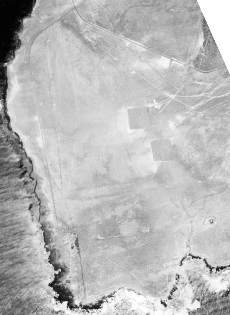
 is still generally undeveloped-Battery Dudley in lower center-CoastDefenseJourna)-1919")
")


")

")
")


")


")
-1943")
")

")