Mānā is a coastal plain with an ancient sea cliff at its inner edge, which extends from Waimea in the south to Barking Sands in the north on the western shores of Kauai.
This region has been identified as a leina-a-ka-uhane (paths-for-leaping-by-the-spirit). These were almost always on bluffs looking westward over the ocean, from which the spirits of the dead were believed to plunge in order to enter the spiritual realm.
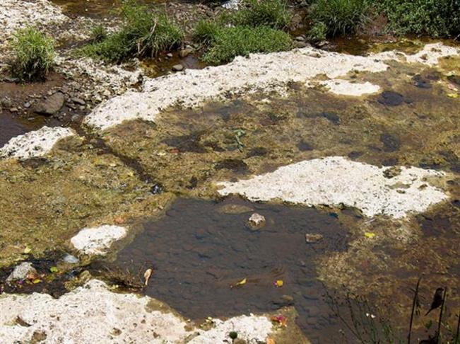
Throughout prehistory, large areas of the Mānā Plain were covered by the great Mānā swamp, allowing the ancients to canoe as far south as Waimea.
Up until the mid-1880s, the great Mānā swamp, east of the plain, covered large areas of the lowlands. Approximately 1,700-acres of permanent, semi-permanent and seasonal wetlands were present on the Mānā Plain.
It is believed that these wet conditions encouraged the independent invention of aquaculture on Kauai and the construction of stone and earthen ponds for growing staples such as taro, yam and sweet potatoes.
Historically, native Hawaiians constructed four different types of fishponds – freshwater taro ponds, other freshwater ponds, brackish water ponds and seawater ponds.
Aquaculture was employed to supplement their other fishing activities, and permanent fishponds guaranteed a stable food supply for populations in lean times. Tended ponds provided fish without requiring fishing expertise, and harvesting the pond, unlike fishing at sea, was not weather dependent.
Evidence suggests that Hawaiian fishponds were constructed as early as AD 1000, if not earlier, and continued to be built until the 1820s.
After the arrival of Europeans to the island, aquaculture transitioned to agriculture through the eventual draining of the swamp and the cultivation of sugar cane and rice.
One of the first successful sugar plantations to export from the islands was established at Kōloa in 1835, and by the 1930s, nearly all of the Mānā swamp had been filled to produce this crop.
Up until the mid-1880s, the great Mānā swamp covered large areas of the lowlands. One of the first European settlers, Valdemar Knudsen, drained a portion of the Mānā swamp by excavating a ditch through to the ocean at Waiele. The first sugarcane was planted in Kekaha in 1878.
Hans Peter (HP) Faye was a Norwegian immigrant (arriving in 1880) who started a small plantation at Mānā and eventually helped form Kekaha Sugar, incorporated 1898, and became its first manager.
It was his vision that created the Kekaha and Kokeʻe Ditch Systems and the intricate drainage canals that drain the large swamps of Mānā.
To keep the groundwater table below the root zone of the sugar cane, thousands of feet of canals were excavated to drain excess water from the soil. The water is then pumped into canals such as the Nohili Ditch for release into the ocean.
The drainage system, with two pumps at the Kawaiele and Nohili pumping stations, was constantly running to lower the groundwater table, which made possible for sugarcane cultivation.
Rice was planted in the drained swamplands from the mid-1860s to 1922. By the 1930s, nearly all of the Mānā swamp had been filled in and planted in sugarcane.
The need to keep the area drained continues today. These pumping stations must continue running to keep the groundwater table from rising too high, which could result in root rots and hence low crop yields. During storm season, with five inches of rain in one day would result in flooding.
Nearby wetlands form the Kawaiele Sand Mine Sanctuary (a State Waterbird Refuge for Hawaii’s four endangered waterbird species – Hawaiian duck, coot, stilt and moorhen;) this was created during a sand removal program.
When I was at DLNR, we authorized the sale of sand licenses to allow contractors to remove sand for construction projects (golf courses, concrete mix and beach replenishment) within the waterbird sanctuary that, in turn, created a beneficial mixed terrain and expanded the waterbird habitat.