In 1980, the University of Hawaii conducted an Ethnic Studies Oral History Project that documents a number of individual oral history interviews with people from Kona. It is a virtual Who’s Who speaking about the old days in Kona.
It was funded, in part, by the Hawaii Committee for the Humanities (HCH) – I served on the Board of the HCH when this project was proposed and approved. A two-volume set of books titled “A Social History of Kona” was a result of this project.
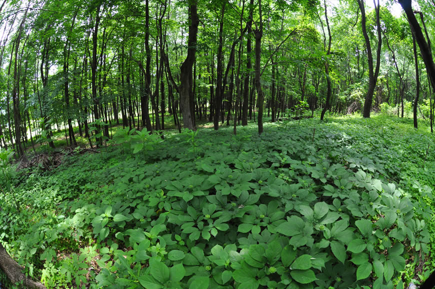
“In the late 19th century, Kona gained a reputation as a ‘haven’ for immigrants who broke their labor contracts with the islands’ sugar plantations. Many came to grow, pick, or mill coffee in the area’s rocky farmlands.”
“These early immigrants and others who later joined them helped Kona acquire distinction as the only area in the United States to grow coffee commercially for over 100 years.”
Based on selected oral history transcripts, community meeting discussions, and informal conversations with Kona residents, humanities Scholar, Stephen Boggs, Professor of Anthropology at the University of Hawaii-Manoa, prepared a preliminary discussion on values relating to common themes that were identified in the interviews of the Japanese immigrants.
These give you a sense of who these people are. These themes included independence and advancement, tenure and obligation, landownership, economic insecurity, hard work, family responsibility, cooperation between households, isolation and entertainment, and the preservation of ethnic customs.
Independence and Advancement
“The value accorded to independence is clearly indicated in discussions of reasons for migrating to Kona and in comparisons of the meaning of work on coffee farms and plantations.”
“‘Coffee meant freedom’ compared with work on the plantations. Compulsion and demeaning treatment were frequently mentioned as aspects of plantation work.”
“Such are the memories that the first generation frequently passed on to the second. Compared to this, Kona had the reputation among the first generation as a ‘place, independent, peaceful’ where ‘everyone looked forward to coming.’”
“Work for one’s own benefit made it possible to advance. … Thus, children were encouraged to study as well as work after school, it was said, ‘so they would amount to something.’ The eldest often stayed home to work on the farm so that a younger sibling (usually a brother) could go further in school.”
“Parents encouraged their children to leave farming for higher education, even though they might need them on their farms. All of this testifies to the importance attached to education, which was assumed to lead to advancement.”
“There is no doubt that advancement was a key value, and even a conscious one, for those who came to Kona.”
Tenure and Obligation
“Advancement was not easy. All that the first generation had when they arrived in Kona was their labor and ingenuity. They had no knowledge of the crops that they would grow, or the growing conditions of Kona.”
“In order to gain access to the necessary land and credit for crop and living expenses, they had to become indebted to merchants, brokers, or other businessmen who bought their crop of coffee.”
“The feeling of obligation to creditors did not depend upon any external sanctions. Instead it was a matter of loyalty: a borrower would be loyal to a creditor above and beyond any contractual obligation.”
There was “the ‘debt adjustment’ of the 1930s. This was a significant historical event in Kona. According to some estimates, hundreds of thousands of dollars which were owed by farmers and could not be repaid because of a long period of low coffee prices worldwide, were forgiven.”
“People in 1980-81 recalled that Amfac was the major benefactor, releasing a million dollars of indebtedness. One can well imagine the relief which this would give to people … In fact people said that the debt reduction probably saved the coffee industry. That was almost the same as saying that it saved the people of Kona, given their strong identification with coffee.”
“The credit system had a beneficial aspect in normal times, as well as creating a burden of obligation. Thus, a farmer could rely upon a creditor when money was needed, unlike those who paid cash only. The credit system thus provided some reassurance.”
Landownership
“Leasing of land was a source of insecurity, although not the most important one. To overcome it people strove to buy land wherever possible. Landownership was thus a value. Even though leases were typically renewed, lease rents could go up, or ownership of the land could change, making continued leasing impossible.”
“Discussing landownership, people added that leasing did not allow you to realize the value of improvements if the lease were terminated. For such reasons, then, people sought to own land.”
Insecurity a Basic Condition
“Plantation workers in Hawaii were largely shielded by their employers from the consequences of fluctuations in prices for sugar and pineapple. They were rarely laid off even during long periods of low prices.”
“But Kona coffee farmers were not protected in this way. World coffee prices often fluctuated severely, with low prices prevailing for a long time. There was no way to avoid the resulting insecurity on the farms.”
“Insecurity was therefore a fundamental condition affecting the development of values in Kona. On the one hand, insecurity heightened the burden of obligation incurred by debt, since even in a good harvest a price drop could make it impossible to repay debts.
“On the other hand, anxiety bred of insecurity caused people to rely even more strongly upon such values as hard work, family responsibility, and cooperation between households, which enabled them to survive. Conversely, however, as security was achieved, support for these values was undercut.”
“When coffee price dropped people took other jobs and planted other crops for income, as well as growing their own food. But income from other crops could not be realized when the entire Kona economy was depressed”.
“Others left Kona to enter other kinds of work. During a three-four year period, when coffee prices were consistently depressed, approximately 80 percent of Kona’s young people and some 54 families abandoned coffee farms in Kona.”
“One can well imagine the insecurity involved in such an exodus, which was faced by those who remained as well as those who left.”
Hard Work
“The first generation and their children worked hard in order to allay the insecurity just described. If their labor and ingenuity were all that they possessed, they made the most of both. Because of reliance upon hard work, it became a value for both generations.”
“We were consistently told in conversations about the old days how hard and long everyone worked. Especially by children describing their parents’ lives. Stories were told: of clearing land and bringing down soil from the forest by hand for planting; of days that began before dawn and lasted until the wee hours of the following day.”
“In those days plantation workers put in ten hours in the fields and twelve in the mills. … During harvests, everyone worked, even the children, partly because their labor was needed, partly in order to teach them to work.”
“People recalled picking as children both before and after school, sometimes as much as two bags. After harvest there was more pruning, cleaning the ground of weeds, and planting subsistence gardens.”
“We were surprised that there were relatively few memories of relaxation during the long season between harvests. The impression given was that people worked all the time, except for holidays and weddings, when there was also work of a different kind, as well as relaxation.”
Family Responsibility
“Working for the family was one of the most cherished values that we encountered. As one person volunteered in one of our earliest meetings, “despite the hardship, coffee was good because the family had to work together, it kept unity in the family, instead of each going their separate ways.’”
“The sense of responsibility was another value that was strengthened by insecurity. Like hard work it provided reassurance, but in a more direct, psychological way.”
“Mention has already been made of children staying back from further schooling in order to send a younger one to school. One result of hard work and family responsibility was that workers from Kona gained a reputation elsewhere for loyalty and good work.”
“Girls especially felt the burden of family responsibility. They more than boys were held back from school to learn to sew and help on the farm. Consequently, fewer girls than boys in the second generation went to high school, some being educated at the Buddhist missions instead.”
Cooperation Between Households
“People knew that they could expect help from one another when problems or difficulties occurred, which was also a strong psychological reassurance.”
“Reliance upon the kumiai [Japanese community groups] when demands exceeded what one family could do led naturally into reliance upon the kumiai for go-betweens to settle disputes. Members of the kumiai provided other services as well, including repairing machinery, helping to start a balky engine, etc.”
“Mention was made earlier of ingenuity. Many examples of this were shown us and described in conversations. Machinery of all kinds was invented and manufactured on the spot from local materials, a treasure of ‘appropriate technology’ exists in Kona. Such improvements were shared.”
“This was the “Spirit of Kona” fostered by the kumiai. … Given the experience described it was natural for Kona’s Japanese to band together to meet other needs as well.”
“Because of the frequent recourse to kumiai (the term is applied to members as well as the organization) and the principle of mutual help on which it was based, there is little wonder that kumiai was identified with ‘the spirit of Kona’s past.’”
“People also referred to it as ‘the center of the neighborhood’ and used it ‘to get messages through’ when households were widely dispersed and means of transportation and communication difficult or nonexistent.”
“These were not the only organizations promoting the value of cooperation among Kona’s first two generations. Informants and group discussions alike insisted upon the importance of tanomoshi, a form of rotating credit association.”
“Funds of the tanomoshi were crucial before credit unions developed to provide money for emergencies, purchase of land or leases, housing, and other large expenditures.”
Isolation and Entertainment
“Some values had their principal basis in circumstances other than insecurity. One such value was coming together for social celebrations and entertainment.”
“The relative isolation no doubt contributed to the emphasis placed by our informants upon the importance of the rare occasions on which people congregated. Every Community Meeting insisted on including this in their history.”
“People also recalled benches in front of stores, on which people could rest to visit on infrequent visits to the store, now sadly out of style. They also remembered the popularity of Japanese movies and the fact that singing was part of almost every get-together.”
Japanese Customs
“Many practices were brought by the first generation from Japan that undoubtedly functioned to provide continuity and identity. … These practices represented values in themselves.”
“Ties with the Government of Japan were systematically maintained until World War II broke them. Overseas Japanese were registered by a census – the Jinko-chosa. Children and marriages were also registered in simplified form in the koseki (family household register) so as to maintain Japanese citizenship.”
“There was a celebration for the Emperor’s birthday – Tenchosetsu, when a considerable collection was taken up, as on other occasions, such as military victories. When merchant marine ships from Japan paid courtesy calls at Kailua, young people in a group would go down and perform on the porch of the old Amfac Building”.
“The Nisei did not carry on these practices as the first generation did. Indeed, the transition to American ceremonies started with the latter. … With the outbreak of war all external symbols of Japanese tradition had to be disposed of Kona was occupied by American troops, and relations with them were tense.”
Conclusions: The Significance of Kona
“To Japanese Kona meant coffee farming. It was obvious from the first that people spoke of coffee when they thought of the first generation. The term ‘coffee pioneers’ describes them.”
“This focus upon coffee almost excludes reference to Kona as a land, a place, in the interviews and discussions. It is not that Kona Japanese do not appreciate the beauty of Kona or feel a bond with the place. At least one informant spoke of Kona as ‘an ideal place to retire’ and predicted that many who left would return.”
“But they speak of Kona as a place rarely, while they speak of coffee in every other utterance. Why is this? The answer tells
us much about the meaning of coffee, and hence of Kona, to the Japanese.”