The history of aviation on the Big Island dates back to June 10, 1911 when Clarence H. Walker came to Hilo for an exhibition flight in his Curtiss Biplane. There were no airports on the island, so Hoʻolulu Park was selected for the runway.
The first successful flight from Honolulu to the Big Island was made on March 24, 1919 by Army Maj Hugh Kneer in a US Army hydroplane. He landed in Kūhio Bay; he brought a bag of mail, thus beginning air mail service between Honolulu and Hilo by Army planes.
The first commercial flight to the Big Island took place when Martin Jensen piloted the Lewis Tours aircraft Malolo into a perfect landing at Hoʻolulu Park on a flight from Kahului. The first passengers on this historic flight were Mr and Mrs Walter Eklund.
In December 1920, a ramp was built by the Hawaiian Contracting Company in Radio Bay in Hilo to haul visiting seaplanes from the bay onto land.
On February 25, 1925, Speaker of the House Norman K Lyman of Hilo introduced a resolution requesting the governor to set aside 50 acres of land at Waiākea for a landing field. This was amended to 100 acres the following day by the Aviation Committee.
A resolution was also introduced authorizing Territory officials to use convict labor to level the land for the landing field.
Work on Hilo Airport began July 17, 1925. Six county prisoners were joined by 40 Oʻahu convicts upon the completion of the Waiākea Prison Camp buildings.
Using tools donated by the County, the 46-prisoners began on September 8, 1925. Use of prison labor had its problems; in 1926, several escaped (and later caught.) The escapes and captures continued.
Most of the site was cleared by the end of the year. A 400 by 2,000-foot field was surveyed heading into the prevailing winds. They started to level the site using dredge material from the nearby Hilo Bay Breakwater project.
In February 1928, Major Clarence M Young, then Secretary of Aeronautics, US Department of Commerce, came to Hawaiʻi to inspect aviation facilities and promote commercial aviation in the Territory.
On February 11, 1928, Major Young was flown to Hilo in the Bird of Paradise for the purpose of dedicating the new airport (the same plane that Army Lts Maitland and Hegenberger used in making the first successful flight to Hawaiʻi on June 29, 1927.)
Inter-Island Airways (later renamed Hawaiian Air) began the first regularly scheduled passenger service between the islands on November 11, 1929 using Sikorsky S-38 amphibians. The fare was $32 between Honolulu and Hilo. Inter-Island Airways’ terminal was dedicated at Hilo Airport on March 22, 1930.
A second and third runways were added and the airport was renovated (the renovation dedication ceremony was held May 2, 1941.)
At the outbreak of World War II, Hilo Airport was taken over by the Army Engineers, and an Air Corps fighter squadron was stationed there. US Army Engineers constructed military installations and continued the expansion of runways, taxiways and parking aprons.
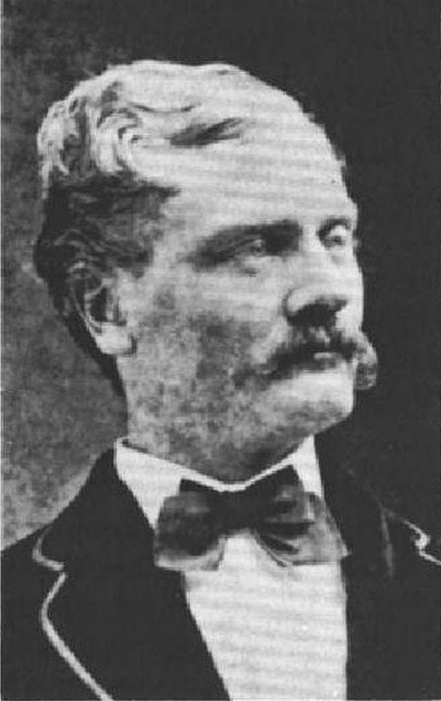
The construction of the Naval Air Station started shortly thereafter on all the necessary facilities to base and train two full air groups. The name of Hilo Airport was changed to General Lyman Field on April 19, 1943.
It was named to honor Brigadier General Albert Kualiʻi Brickwood Lyman, who was born at Paʻauhau and was the first native Hawaiian (he was also part-Chinese) to attain the rank of general or admiral in the US Armed Forces.
After the war, military operations at Hilo Airport steadily decreased. Permission to operate General Lyman Field as a commercial airport was granted the Territory by letter from the Commanding General, Armed Forces, Mid-Pacific, dated September 30, 1946.
Later, with construction of a new passenger terminal and conversion to commercial use, on December 3, 1953 the new administration and terminal building were dedicated.
On January 27, 1967, The Civil Aeronautics Board (CAB) heard testimony on applications from Pan American, United and Northwest Airlines on their proposals to provide direct service from the Mainland to Hilo.
Senator Daniel Inouye testified that “a common fare (the same price for a ticket to all points in Hawaiʻi from the Mainland) was not only important to Hawaiʻi County but to all Neighbor Islands. They are growing at a snail’s pace while Oʻahu is growing in leaps and bounds.” He suggested that a common fare would help to balance the inequity.
Direct jet routes to Hilo from the Mainland were approved by the CAB on April 17, 1967 for United, Pan Am and Northwest.
The airlines could not fly between Honolulu and Hilo but permitted round trip passengers from the continent to fly between islands for $5-$9 regardless of where they originally landed in the islands. (So, visitors arrived into Honolulu or Hilo, did island hopping for under $10 a segment and flew home out of the other airport.)
It was a shot in the arm for the Hilo visitor industry and an added benefit was air freight for East Hawaiʻi’s farmers (about 40,000-pounds of papayas left for Los Angeles on the first direct United Air Lines jet flight form Hilo.) A number of trans-Pacific carriers took advantage and served Hilo.
Expanded service required expanded facilities and on April 30, 1976 a new passenger terminal was dedicated. The 105-foot high FAA Traffic Control Tower opened on November 2, 1979.
The common fare didn’t last long, and in January 1979, citing economic concerns, Continental Airlines ceased service between the mainland and Hilo, ending 10 years of association.
Along with regular passenger service, Continental carried one million pounds of cargo each month. Five months later, United Airlines announced that it would also cease direct flights out of San Francisco.
In 1989, the airport’s name was changed to Hilo International Airport and the main passenger terminal was named for General Lyman. The terminal was rededicated to Lyman on September 29, 1993.
In 2010, Hilo International Airport was served by two interisland carriers, two commuter airlines, and several aerial sight-seeing tour companies. It no longer had scheduled Trans-Pacific service. (Lots of information here is from hawaii-gov.)
Follow Peter T Young on Facebook
Follow Peter T Young on Google+
Follow Peter T Young on LinkedIn
Follow Peter T Young on Blogger


")